Garmin Compatible Map of the North Downs Way
03 Aug 2023No longer being produced - March 2024
All mapping data is derived from OpenStreetMap, including the downloadable maps. Many thanks to OpenStreetMap contributors for their skill & dedication.
</! these are the categories that were in use [OpenStreetMap, Walking, Garmin-Maps] />
Link for all Downloads
All maps are available from
https://daphne-nick.uk/nextcloud/index.php/s/6cQesAz38DWRWBo
either as a direct download if the file is less than 500mb in size, or as a torrent link (it’s saved as a .7z because my nextcloud server will only handle it if it is zipped - extract it and then open with your torrent programme).
All dates {DATE} are in the format YYYYMMDD.
All maps also show the start position for Parkruns (where available).
These maps have been tested on:
- Garmin Edge 530 (no microSD card slot. The small file was copied to the internal memory - search on internet for ‘how’- at your own risk).
- Garmin Edge 810
- Garmin Edge Touring
- Garmin Edge 605 & 705
- Garmin Etrex 30
- Garmin Basecamp
- QMapShack
The maps are updated every month, depending on my availability.
You will need a torrent sharing programme on your computer, such as Transmission or Deluge (there are many, just search on the internet if you haven’t come across them before). There is a guide to installing maps onto your Garmin device here. If all of this sounds very complicated to you, and you just want to buy one of these maps already installed onto a microSD card, I do offer them for sale on ebay - listing links are with the map details below.
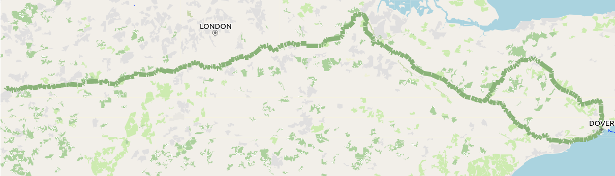
North Downs Way - Garmin compatible map
File name = north_downs_way_{DATE}.7z (These files are less than 50mb in size and are available as a direct download).
Contact me
If you wish to contact me - feedback about any of these maps is always welcome, please do so through: