Lands End to John O'Groats 1
02 Jul 2004Lands End to John O’Groats - The preparations
(or "How many mistakes can you make?")
We’re writing this in 2020, over 15 years after we completed this ride. We hope you enjoy our story, but most of all we hope you take inspiration from it and ‘go for it’. We look back on that expedition with such affection and realise now just how much we gained from it. We already knew that for many things, if you wait for the perfect circumstances, then you will never actually start, and this, for us, was very true for this ride. We hope you gain as much satisfaction as we did. Take the time to take a few photo’s - in future years it’s surprising the memories it will bring back.
It was a pipe dream that gradually grew until it might even be possible - maybe?
Early in the year we ordered the CTC (now Cyclists UK) route pack for LeJOG. We thought it was remarkably cheap and obviously it was going to have to be an enormous pack of information for such a long route. The postman delivered the small brown envelope, and I didn’t rush to open it as it was bound to be another bill. Inside were 3 routes:
- The main road route
- The Youth Hostel route
- The scenic route
Each route consisted of one or two sheets of A4 paper, carefully typed at normal font size. The scenic route mostly consisted of a list of village names, but there were a few cautionary words about junctions. There was more information on each page, but we were very surprised at how compact it all was.
We carefully photocopied the route sheets, but then decided we needed to supplement this. We were seasoned navigators and were used to carrying Ordnance Survey 1:50,000 maps for our rides
We briefly started to collect Ordnance Survey maps, but realised almost immediately that we would need too many, and the resulting pile would be too heavy & too big. Following some advice we found on the internet, we bought a road atlas - the sort you can buy in motorway service areas. Using highlighter pens, coloured according to the route, we went through the atlas highlighting the 3 routes. Then we cut out the pages containing only the routes and discarded the rest. The map sheets we wanted were carefully kept in a plastic bag, and we added them to our panniers as we started to pack. Daphne was to be our navigator, and she had a map case mounted onto her handlebars.
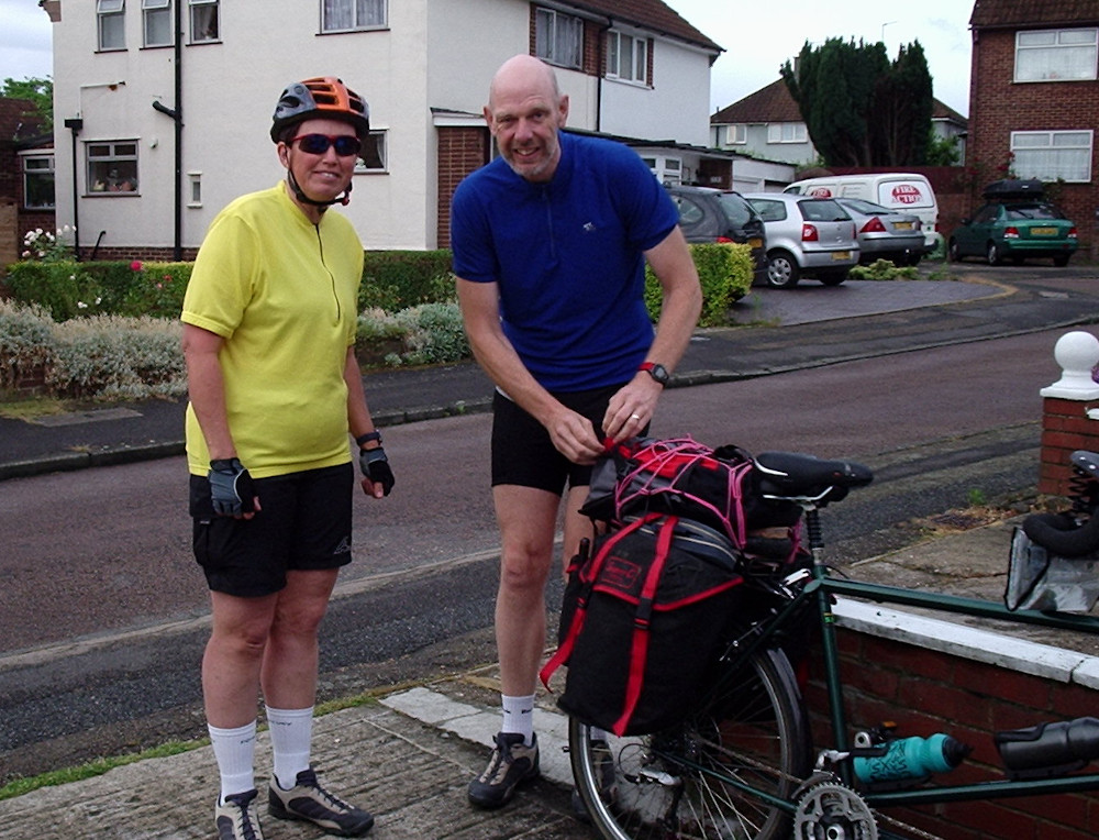
Our trusty steed was to be our green Thorne tandem that we had owned for about 3 years, and Nick carried out a quick service making sure everything was okay.
We were worried about our lack of speed - we very rarely achieved an average speed above about 8mph, and we were not too good on distance either. Altogether we were not too confident, so we only made plans and reservations for the first few days, and decided that if things were not going well we would just stop in Wales and have a good restful holiday there.