Canal Map - GB - Garmin Compatible
20 Jun 2025
All mapping data is derived from OpenStreetMap, including the downloadable maps. Many thanks to OpenStreetMap contributors for their skill & dedication.
Updates
Updated 13/06/2025 & now includes;


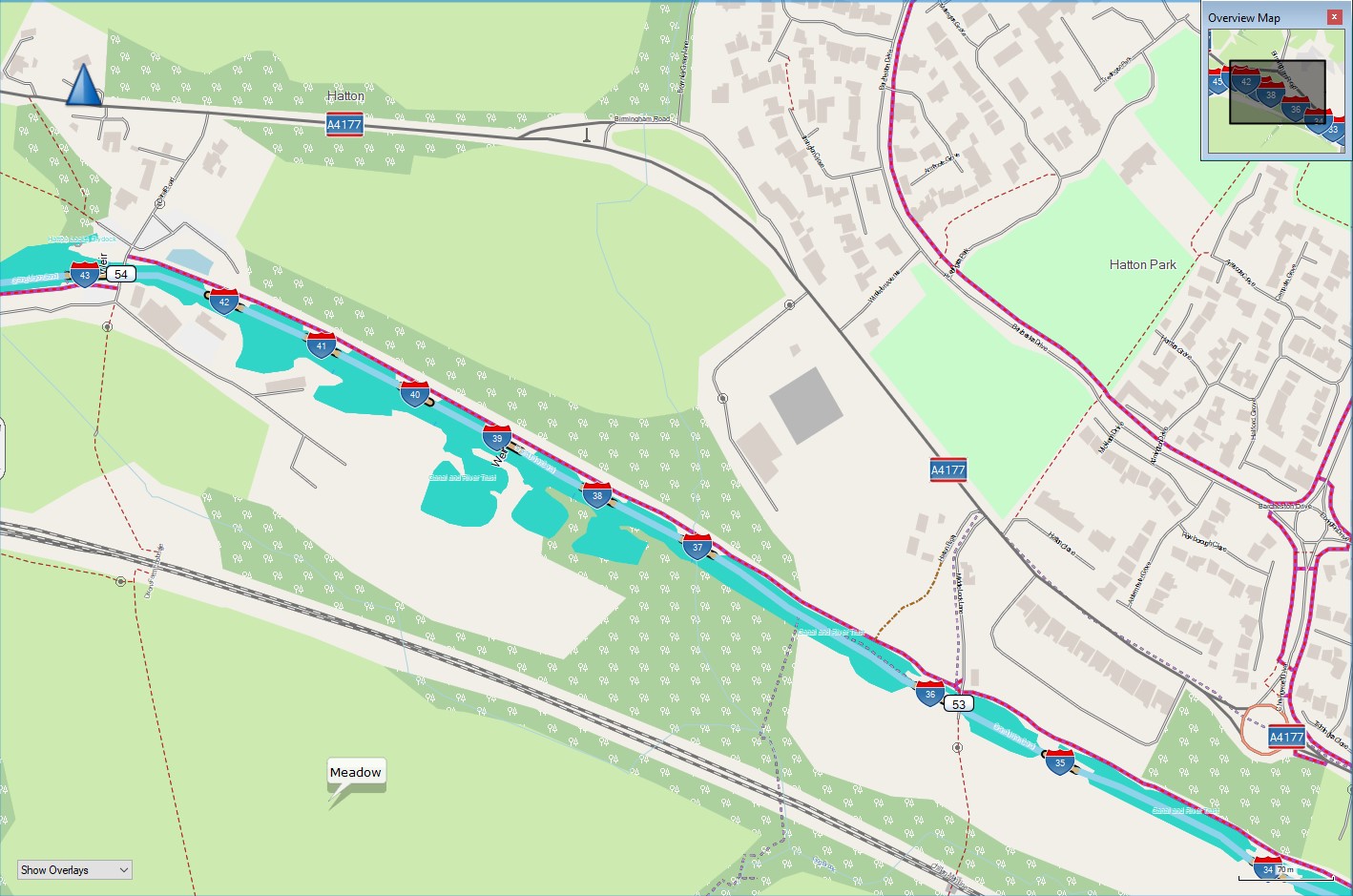
- Lift Bridges and Swing Bridges have their own ‘bridge ref’ icon, and the displayed name includes ‘Lift-or-Swing’ when sufficiently zoomed in.
- Pump-outs are now displayed (searchable).
About

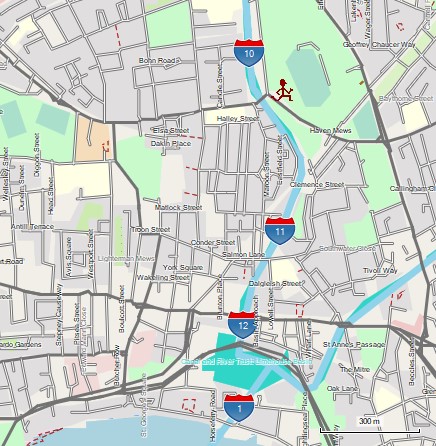
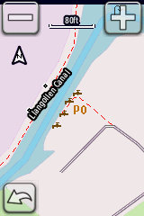
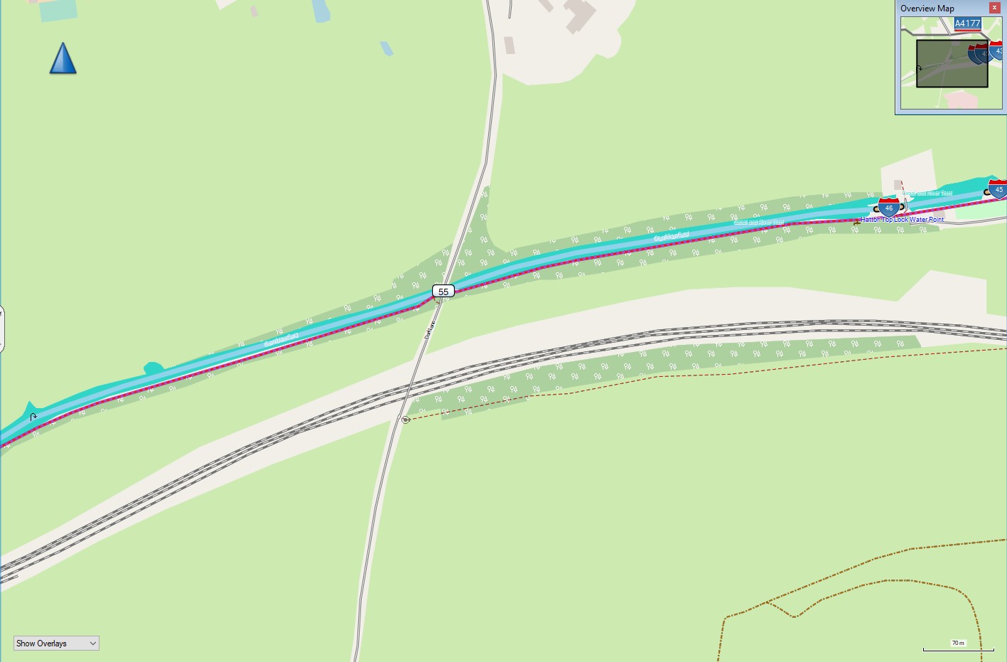
Useful if you want to see where you are in relation to locks, bridges and other features such as turning points (winding holes). It is not routable for boats, but is useful, and can be fun to look at - I find it useful when trying to work out exactly where winding holes and other features are ahead of me. I keep an old Garmin edge cycle computer at the back of the boat with me. The routing is for cycles, and it also shows cycle routes - these are often canal towpaths, making cyclists frequent users of the canal network.

It is no substitute for a good guide book! Treat it as a bit of useful fun, and hopefully you will enjoy using it.
Downloads
Downloading - Please take note!
It’s slow because I have a normal household internet access, and the files you are downloading are big - some are very big. For instance;
-
north sea cycle latest for September 2025 is 1011mb,
-
ave verte large latest for September 2025 is 802mb,
-
ave verte small - if you download all 3 files is 766mb.
It’s going to take a few minutes to download - be patient, look at your screen - somewhere it will show download progress. Don’t click on download again - doing it twice does not speed it up, but it does slow it down.
If my household connection is going to be continually swamped, I may have to change how people can download the files, or start charging so I can upgrade my internet access - I don’t want to do this.
If you find this, or any of the maps I create are useful to you, please consider making a small donation to a charity or to the OpenStreetMap foundation at https://supporting.openstreetmap.org/donate/
The file needed for loading onto a gps is available as a direct download from https://daphne-nick.uk/nextcloud/index.php/s/EzyNWwiApa2RJS9
The .exe or .gmapi files are available as .torrent downloads with the file needed for doing this available from https://daphne-nick.uk/nextcloud/index.php/s/6cQesAz38DWRWBo