Surveying and Updating a Kissing-Gate
28 Aug 2025- Preparation
- Surveying kit
- Surveying the Kissing Gate
- Angel Bakes » The Village Lunchbox
- Saving the gps trace
- Updating OpenstreetMap with iD
Preparation
If you’re preparing to do a survey, it’s helpful to do a little preparation, so, make it worthwhile. As well as surveying barriers that need fixing, I also look out for other things to ‘fix’.
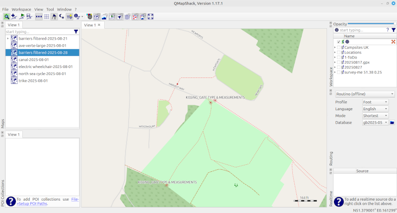
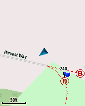
The above image shows a kissing-gate identified on a ‘barriers filtered’ map as requiring more details.
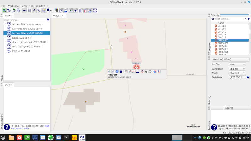
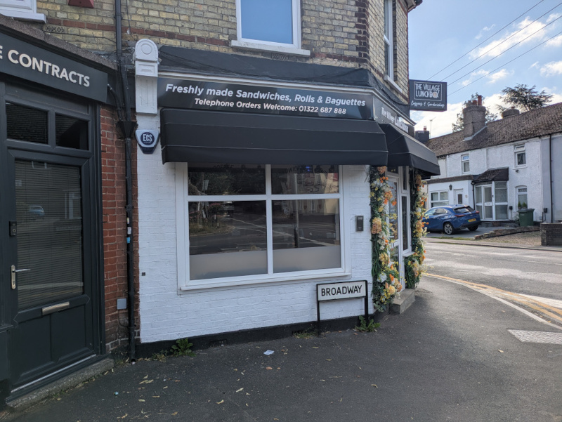
The image below shows a shop called ‘Angel Bakes’ which has been identified on https://osm.mathmos.net/survey/#5/55.500/-4.000 as requiring a survey because the fhrs reference had changed - more about this later. As I will be going past this shop on the way to the barrier, it makes sense to stop outside and see what, if anything, needs updating. I normally go out with a list of things to look at, but will find additional things that should be improved whilst out.
One of my other sources of places to survey is https://gregrs.dev.openstreetmap.org/fhodot/ I will only update OpenStreetMap once I’ve made sure that the place I’m updating is still there, and that I’ve seen it in the last week.
Surveying kit
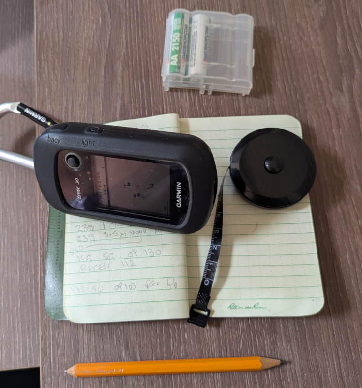
Although I love gadgets and apps, my basic mapping kit is just that ‘basic’ - experience has taught me that a basic mapping kit which includes a notebook and a pencil is wonderfully dependable! The tape measure is cheap and lightweight, and doesn’t have any sharp corners to cut holes into my clothes - about 1.5 metres long (anything longer can be measured with an app on my mobile phone (StreetMeasure - ARCore). Pencils always seem to work, even when wet, and I always add a waterproof notebook into my Xmas wish list. I have some wonderful waterproof pens that write upside down in space - but they also seem able to walk, whereas the pencil doesn’t. My gps is an old and battered Garmin Etrex 30, but you can get similar results using one of Garmin’s other models - I sometimes use a cycle computer when surveying, or use one of the apps on my phone.
My mobile phone will have at least the following apps on it;
- Osmand https://osmand.net/ which is setup with the OpenStreetMap editing plugin (this app can also be used creating a track and creating audio/video notes),
- Streetcomplete https://streetcomplete.app/?lang=en-gb with StreetMeasure installed and setup
- Every Door https://wiki.openstreetmap.org/wiki/Every_Door
- OsmTracker https://wiki.openstreetmap.org/wiki/OSMTracker_(Android) with the custom button layout of ‘walk ride detailed’ loaded (If I get time I’ll try to produce a mkII updated version of this).
- Vespucci https://vespucci.io/
- I often cycle, and try to get imagery to upload to Mapillary https://www.mapillary.com/ and Kartaview https://kartaview.org/landing
Depending on where I’m going, how long I’m going to be out, and the weather, I may also be carrying a waterproof, sun block, hat of some kind, first aid kit, and power bank (using the apps continually is a big drain on a mobile phone’s battery). Need I say cash for coffee & snacks, packed lunch and a drink?
Surveying the Kissing Gate
Turn the gps on at an early stage, so that by the time you get to the barrier it has locked into the best available satellites, and it’s location should be fairly accurate (It might still be ‘out’ by up to 20 metres though!).
When you get to the barrier, create a waypoint - on my etrex I press and hold the ‘joystick’ button, and a numbered waypoint will be created.
A couple of quick notes in the notebook -
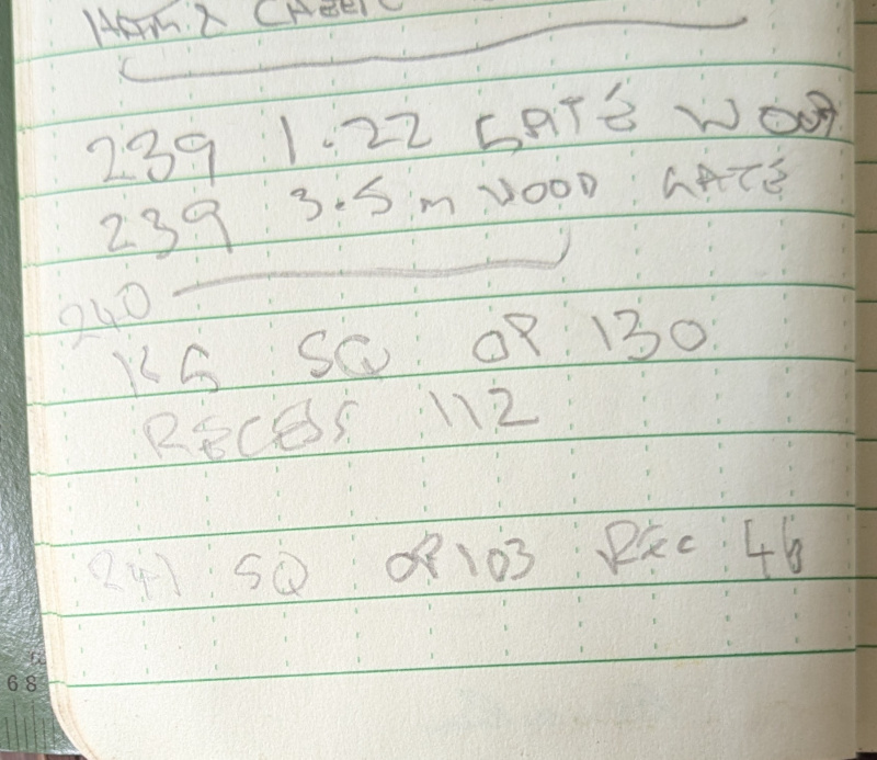
Expanding on my scrappy note: 240 KG SQ OP130 Recess 112 translates to;
- waypoint 240
- Kissing Gate
- SQuare_profile
- OP130 refers to the opening but will be used in OSM tagging as maxwidth:physical https://wiki.openstreetmap.org/wiki/Key:maxwidth:physical In most cases it’s the gap between the gate posts.
- Recess 112 - I’m currently using this in relation to kissing gates to represent the gap between the partially open gate, and the back wall of the kissing gate. When you’re passing through the kissing gate, it’s the gap that may be so small you have to take your rucksack off to get through without losing the buttons off your shirt! Kissing Gates designed to allow a horse rider through will have a recess deep enough for a horse to back into.
Angel Bakes » The Village Lunchbox
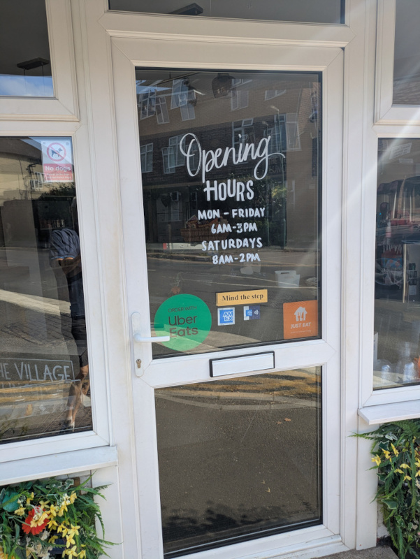
On my way back I took a couple of photo’s of what had been Angel Bakes (I hope she’s still doing the cakes as well!).
Saving the gps trace
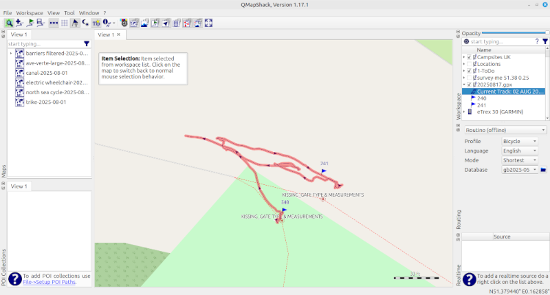
Back home I connect my Garmin Etrex to my computer, run QMapShack, and download the trace to my computer.
Updating OpenstreetMap with iD
In your web browser - Firefox, Google Chrome, Microsoft Edge, Safari, Opera, or ….. load the following tabs;
- This website!
- https://www.openstreetmap.org - it doesn’t matter which area you are viewing, but you will need to zoom in to the maximum
- https://wiki.openstreetmap.org/ - if you know you are going to edit a particular barrier, or other feature, then search for that within the wiki.
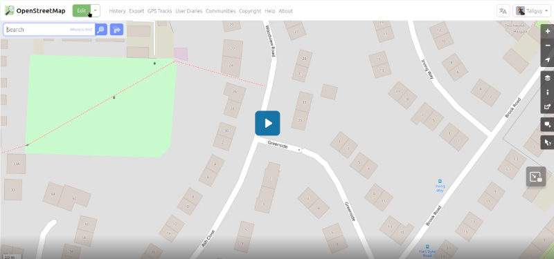
Get the gpx file you created when surveying ready to drag & drop into your web browser. Click on ‘edit’ on the OpenStreetMap tab, then drag & drop your gpx file onto the screen - Follow the sequence in this video - Video can be slow to load. To load, click on the image below.
