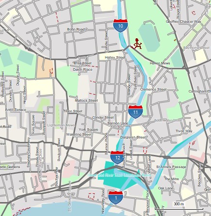
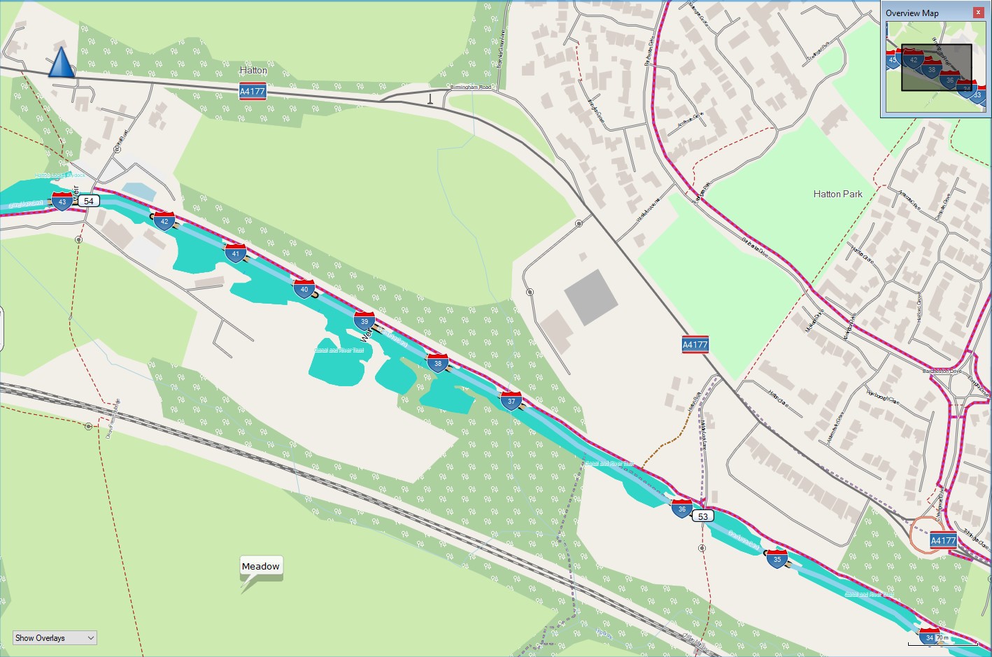
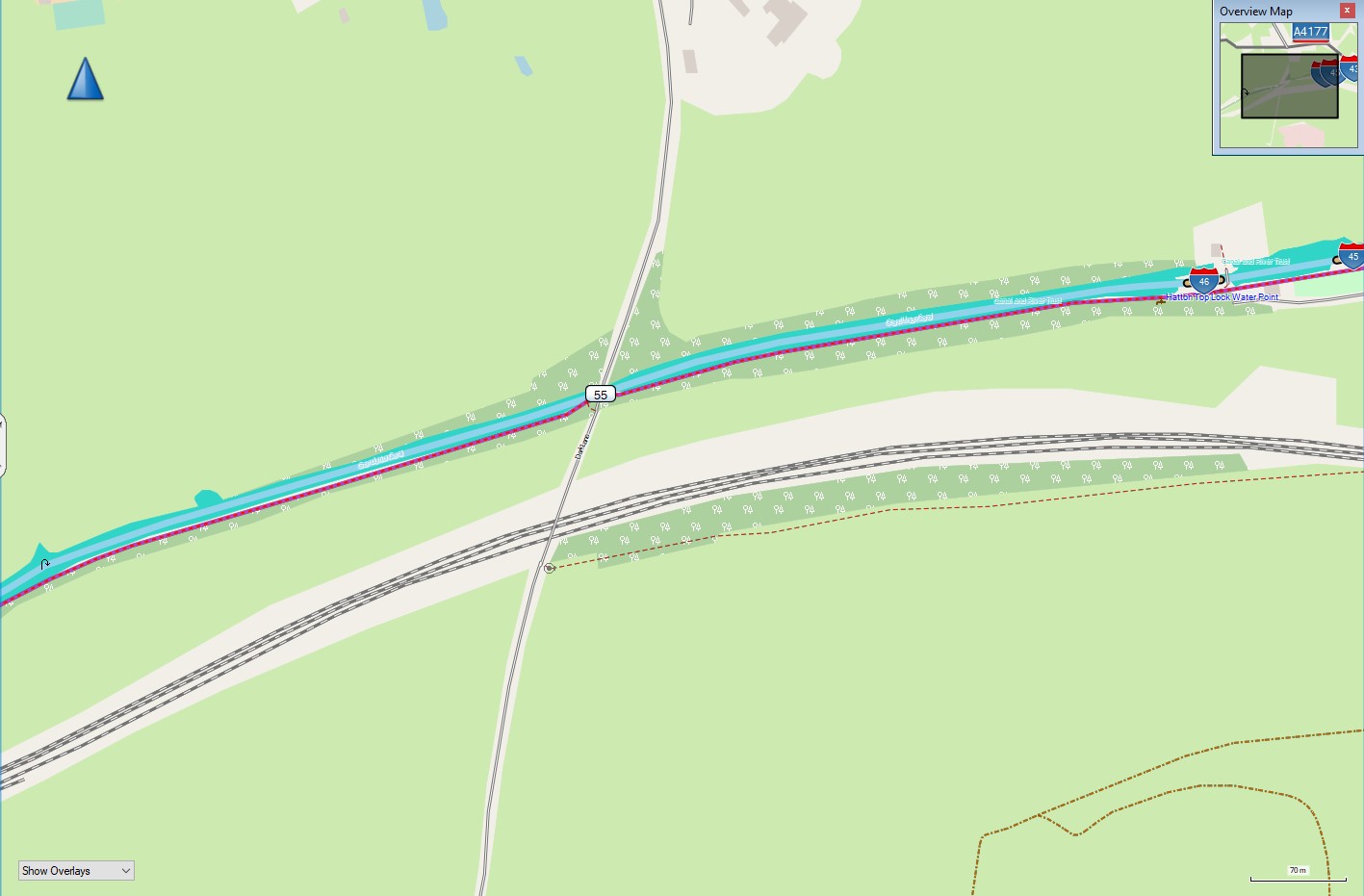
Canal Map - GB - Garmin Compatible
02 Apr 2024Canal Map of GB - Garmin Compatible

All mapping data is derived from OpenStreetMap, including the downloadable maps. Many thanks to OpenStreetMap contributors for their skill & dedication.
About

Useful if you want to see where you are in relation to locks, bridges and other features such as turning points (winding holes). It is not routable for boats, but is useful, and can be fun to look at - I find it useful when trying to work out exactly where winding holes and other features are ahead of me. I keep an old Garmin edge cycle computer at the back of the boat with me. The routing is for cycles, and it also shows cycle routes - these are often canal towpaths, making cyclists frequent users of the canal network.

It is no substitute for a good guide book! Treat it as a bit of useful fun, and hopefully you will enjoy using it.
Downloads
The file needed for loading onto a gps is available as a direct download from https://daphne-nick.uk/nextcloud/index.php/s/GwdJnq96Hq6bxMd
The .exe or .gmapi files are available as .torrent downloads with the file needed for doing this available from https://daphne-nick.uk/nextcloud/index.php/s/6cQesAz38DWRWBo