Barrier Maps
28 Dec 2023Barrier Maps for the UK
In order to produce a useful map for wheelchairs, pushchairs, mobility scooter users, and trike users we need to ensure the barrier features on OpenStreetMap have the necessary tags. To help with this I’m producing two maps of the UK;
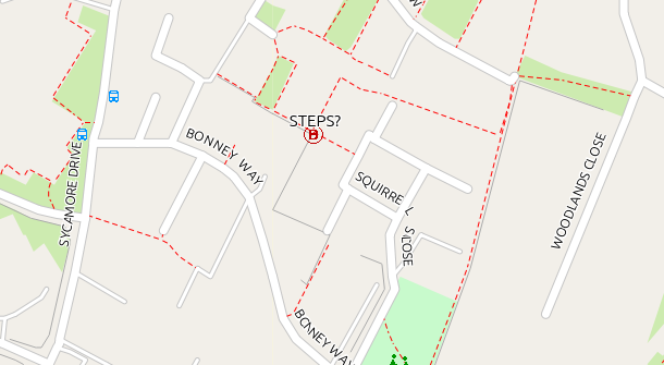
Barriers Filtered This map shows barriers that require attention.

The .img & .tdb files required for loading direct into a garmin device, or for use in QMapShack can be downloaded from https://daphne-nick.uk/nextcloud/index.php/s/WAmCwKGkGigmryn or if you prefer the .exe or .gmapi versions for use on a windows or mac computer, they can be downloaded via torrent file from https://daphne-nick.uk/nextcloud/index.php/s/6cQesAz38DWRWBo
Each map is available in 3 versions;
- barriers_filtered_winexe-YYYY-MM-DD.torrent for downloading the Windows executable file for installing the map for use with ‘basecamp’,
- barriers_filtered_gmapi-YYYY-MM-DD.torrent for downloading the file which can be used with Windows or Apple Mac, or
- barriers_filtered-YYYY-MM-DD.torrent for downloading the .img & .tdb file for use with QMapShack, and garmin handhelds.
Read on if you would like more details, or just download them and figure it out. Once a feature is correctly tagged it disappers from the next version of the Barriers Filtered map, so it’s an easy way of seeing your progress in updating barriers.
Dimensions - terms
The following tags are in common usage, with the dimension in metres unless you specify otherwise;
width https://wiki.openstreetmap.org/wiki/Key:width
maxwidth https://wiki.openstreetmap.org/wiki/Key:maxwidth This tag relates to a legal restriction not a physical one. Be careful, as the editing programmes don’t always reflect this (Dec 2023 and JOSM v18907 suggests this tag for a gate).
maxwidth:physical https://wiki.openstreetmap.org/wiki/Key:maxwidth:physical The width of the opening.
opening, spacing, & overlap https://wiki.openstreetmap.org/wiki/Tag:barrier%3Dcycle_barrier are all used with some cycle barriers.
The Types of Barrier shown on the maps
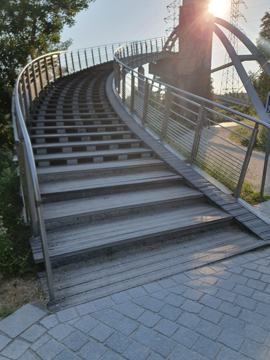
highway=steps
https://wiki.openstreetmap.org/wiki/Tag:highway%3Dsteps
I can lift my trike up 2 steps, but a flight of 20 is beyond me. If you have a 2-wheeled cycle, you will want to know if there is a ramp. My daughter with her pram may still decide to take the pram over a flight of 20 steps if her partner is with her. My mother-in-law alone on her mobility scooter will avoid any steps, but may be able to negotiate a small single step. Some users need to know if there are handrails, and/or the width of the steps. At least step_count should be tagged.

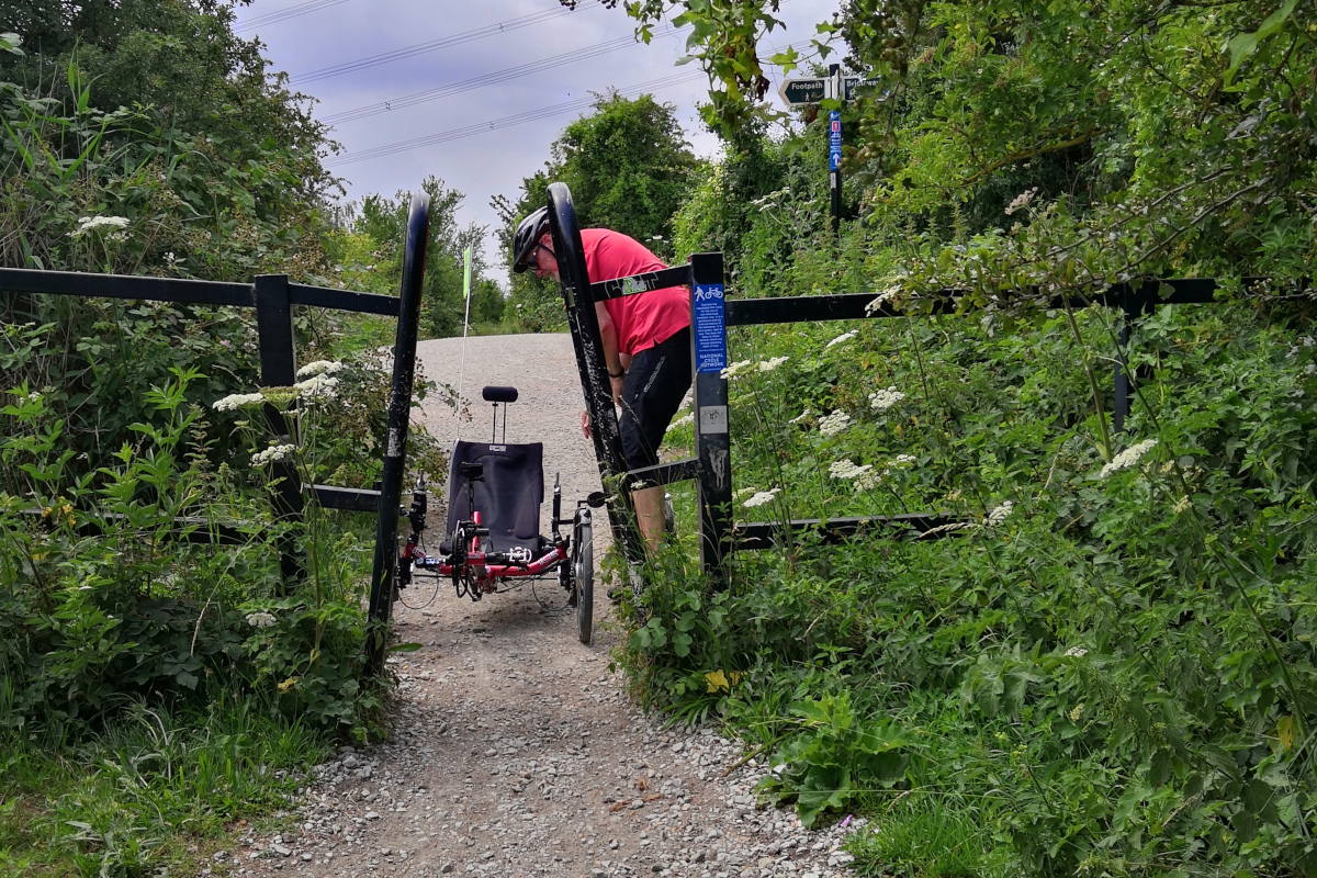
barrier=cycle_barrier
https://wiki.openstreetmap.org/wiki/Tag:barrier%3Dcycle_barrier
Some of these have been placed to slow cyclists down, and some have been placed to stop cycling completely. Others have been placed to try to stop motorcycles using the highway. Depending on the design of the barrier, you may need several different measurements.

barrier=bollard, and barrier=block
https://wiki.openstreetmap.org/wiki/Tag:barrier%3Dbollard & https://wiki.openstreetmap.org/wiki/Tag:barrier%3Dblock
The width of opening is important. In parts of London and other big cities, large blocks have been placed to try to prevent terrorist attacks - some also stop me on my trike!
barrier=kissing_gate
https://wiki.openstreetmap.org/wiki/Tag:barrier%3Dkissing_gate
The tags in use for this feature need enhancing - although you can measure the opening, you really need to know the depth available. Some have been created with wheelchairs in mind, and there may be some you may be able to negotiate with a horse. Tagging should include the type of kissing_gate, and whether it is wheelchair accessible. I’ve been adding a tag for opening= as this may make a difference to some users.
barrier=stile
https://wiki.openstreetmap.org/wiki/Tag:barrier%3Dstile
Tagging should include the type of stile, any step_count, and also if there is a steadying post and/or a dog gate.
Filters used in the barriers_filtered map
This map shows only those barriers which I believe require their tags improved, using the following criteria;
- Barriers do not appear on this map if they are tagged as access=private, or access=customers,
- Steps appear unless they have a ‘step_count’ tag,
- Dimensions - I accept width, maxwidth, mapwidth_physical, and opening,
- Cycle barriers appear if they do not have tags describing their dimensions,
- Stile’s appear if they lack descriptive tags, and dimensions,
- Kissing Gates appear if they are not tagged with their type,
- Bollards and Blocks appear if they lack the size of the gaps (maxwidth:physical or opening).
The map features have altered over the years, and what was correct tagging 10 years ago, now may require updating. The terms used to describe the dimensions of the gap you go through on a barrier, also vary, so I’m happy to accept any of the following; width, maxwidth, maxwidth:physical, or opening.